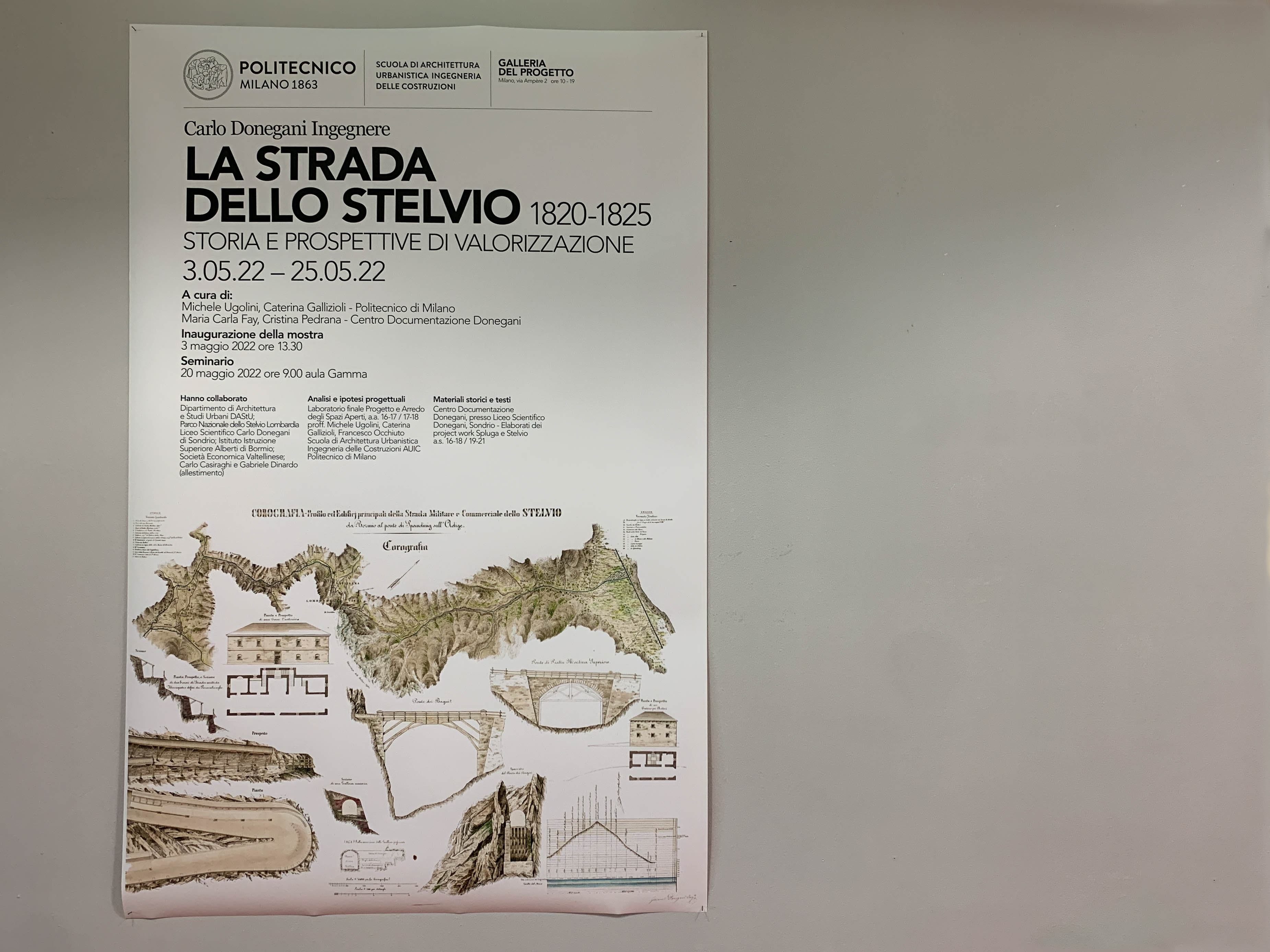
Carlo Donegani Engineer. The Stelvio road 1820 - 1825. History and prospects for enhancement
CURATOR/S: MICHELE UGOLINI E CATERINA GALLIZIOLI - POLITECNICO DI MILANO. MARIA CARLA FAY E CRISTINA PEDRANA - CENTRO DOCUMENTAZIONE DONEGANI

“Quali punti obbligati intermedi ai due estremi esigano particolari riguardi per non essere trascurati, ma che anzi siavi tutta la convenienza di toccarli con la strada, come sarebbe qualche piccolo villaggio od altro sito in qualche modo abitato, qualche tratta non tanto acclive e sulla quale possa esservi condotto un miglior tratto di strada di più facile costruzione ed uso per cui risulti conveniente di approffittarne, quelle tali località scevre da pericoli di valanghe od altro che puonno ritenersi le più atte per stabilirvi le case Cantoniere e i casini pei lavoratori e rompitori delle nevi; punti tutti essenziali da coltivarsi di maniera che fra gli uni e gli altri di questi vanno a costituirsi tante tratte di studio parziale da tracciarsi e svilupparsi fra i propri singolari estremi.” [MEMORIE SULLE OPERAZIONI PER RILIEVI DI PROGETTI DI STRADE MONTANE / Archivio di Stato Sondrio, AsS Fondo Donegani Bs II fascicolo 5.2, senza data e senza firma. La calligrafia è quella di Carlo Donegani]
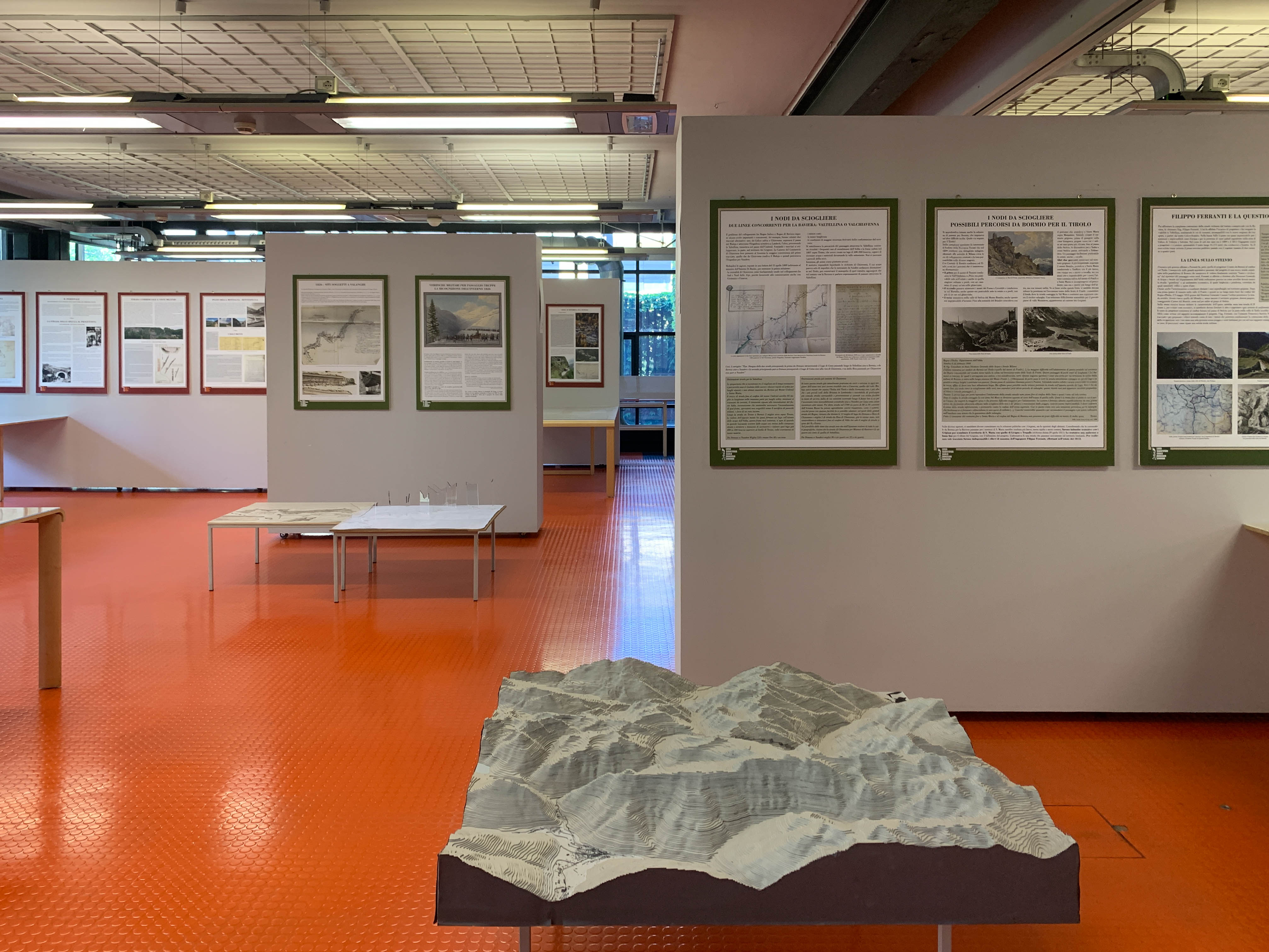
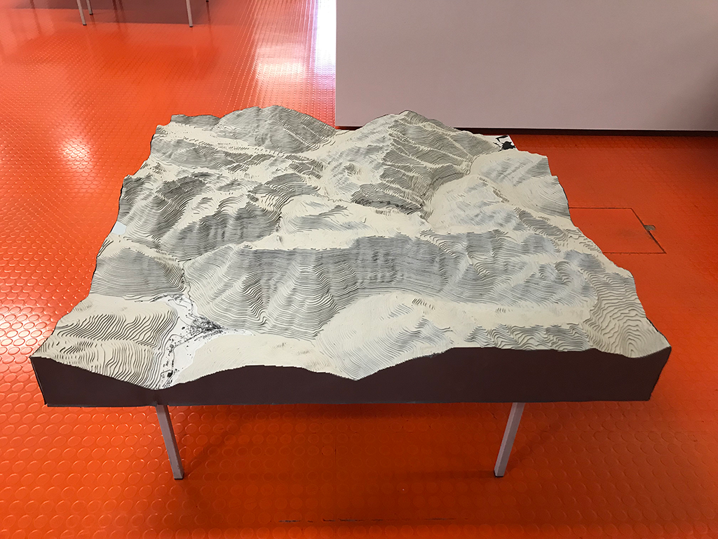
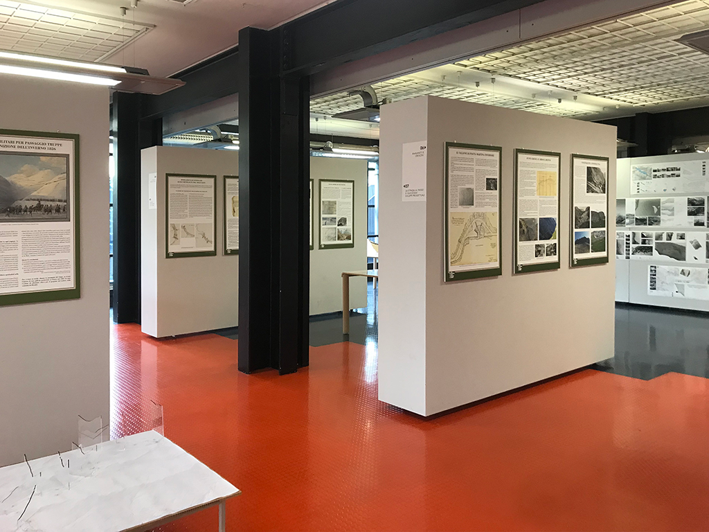
The exhibition 'Carlo Donegani Ingegnere. La Strada dello Stelvio 1820 - 1825. Storia e prospettive di valorizzazione' (Carlo Donegani Engineer. The Stelvio road 1820 - 1825. History and prospects for enhancement), is an opportunity to bring to attention a great infrastructural heritage built two centuries ago for military reasons. A road that has taken on the contours of myth since its beginnings because of the difficult feat of tackling the mountain at altitudes never reached before, up to the point of lapping the glacier tongue at the height of the Stelvio yoke. For many years, it was the highest carriageable pass in Europe. It was the engineer Carlo Donegani who launched the 'impossible challenge' with a project that was very daring for the time, the result of extraordinary technical skills, of an accurate knowledge of the mountains in impervious valleys, dotted with landslides, avalanches and steep watercourses to penetrate what was considered pure wilderness, original nature. It was a complex orography that Donegani, in just five years, surveyed in detail and tackled in terms of design and construction, designing a road with all its equipment, which he brought to completion by working in the summer months alone. An approach in which the small measurements of the repeated cross-sections, survey, and design, complete with their architectural equipment, punctually outline a relationship with the large dimension of the valley through the overall development of the overall chorography.
But the road comes to life and gives new life to a fascinating but historically hostile environment, where few people dared to pass in preference to other and different paths, soon becoming a tourist attraction, commercial transit, a place of wars and ambushes, of car, motorbike and bicycle sporting challenges, eventually acquiring the name 'Cima Coppi' for the heroic feats performed by Fausto Coppi along its climbs.
A complexity of life that over time has consumed and transformed the road itself and its profound relationship with the place in the name of greater road usability, new technical data and presumed safety standards, and indiscriminate tourist access, the result of a partial, heterogeneous, and segmented approach, even when animated by generic good intentions of valorisation. What remains and in what condition is that heritage today?
It is clear from these first words that the road and the valley with its mountains and histories are a single and inseparable landscape, environmental and anthropic entity. It is from this angle that we are interested in drawing attention to the richness and risks of this heritage. A heritage that in engineer Donegani's project took up the challenge of the need for a unitary conception, taking the extraordinariness of the technical datum as an opportunity to reread it in its broader value of the relationship between intelligence and man's effort in comparison with the beauty and strength of nature.
The final objective is now to try to reread its history and the conditions of its composite and articulated topicality in order to define a project perspective of overall and strategic valorisation of the road and the valley. A great project that once again takes up today the challenge that Donegani had the courage to face two hundred years ago: that of restoring an overall, unitary yet multidisciplinary vision. In this sense effectively polytechnic.
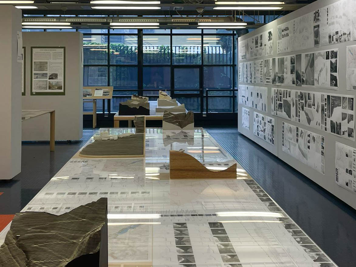
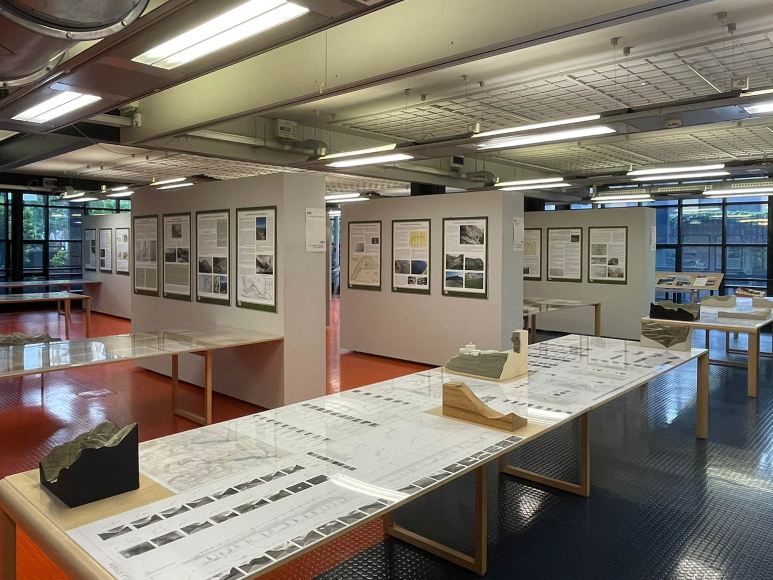
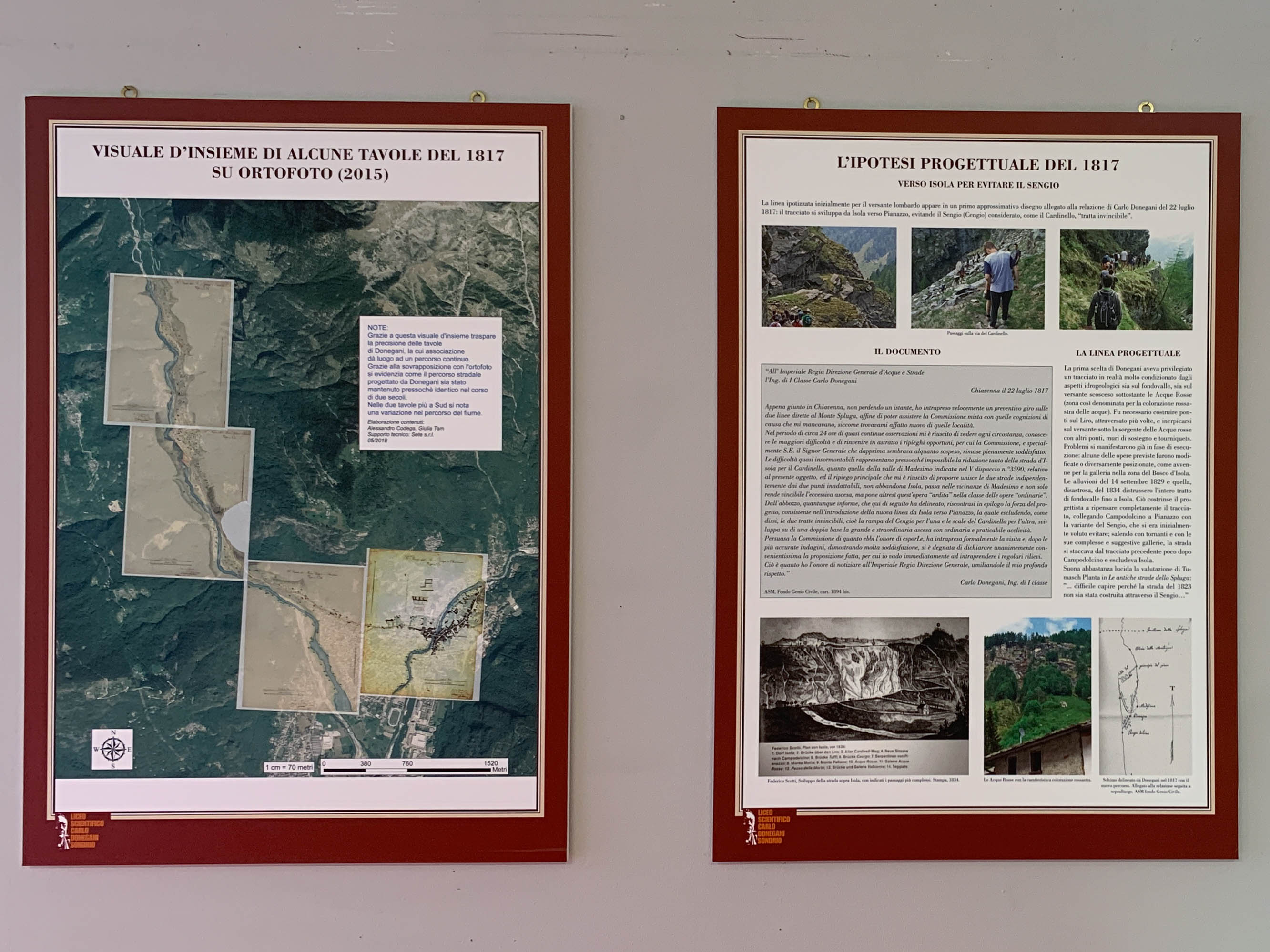
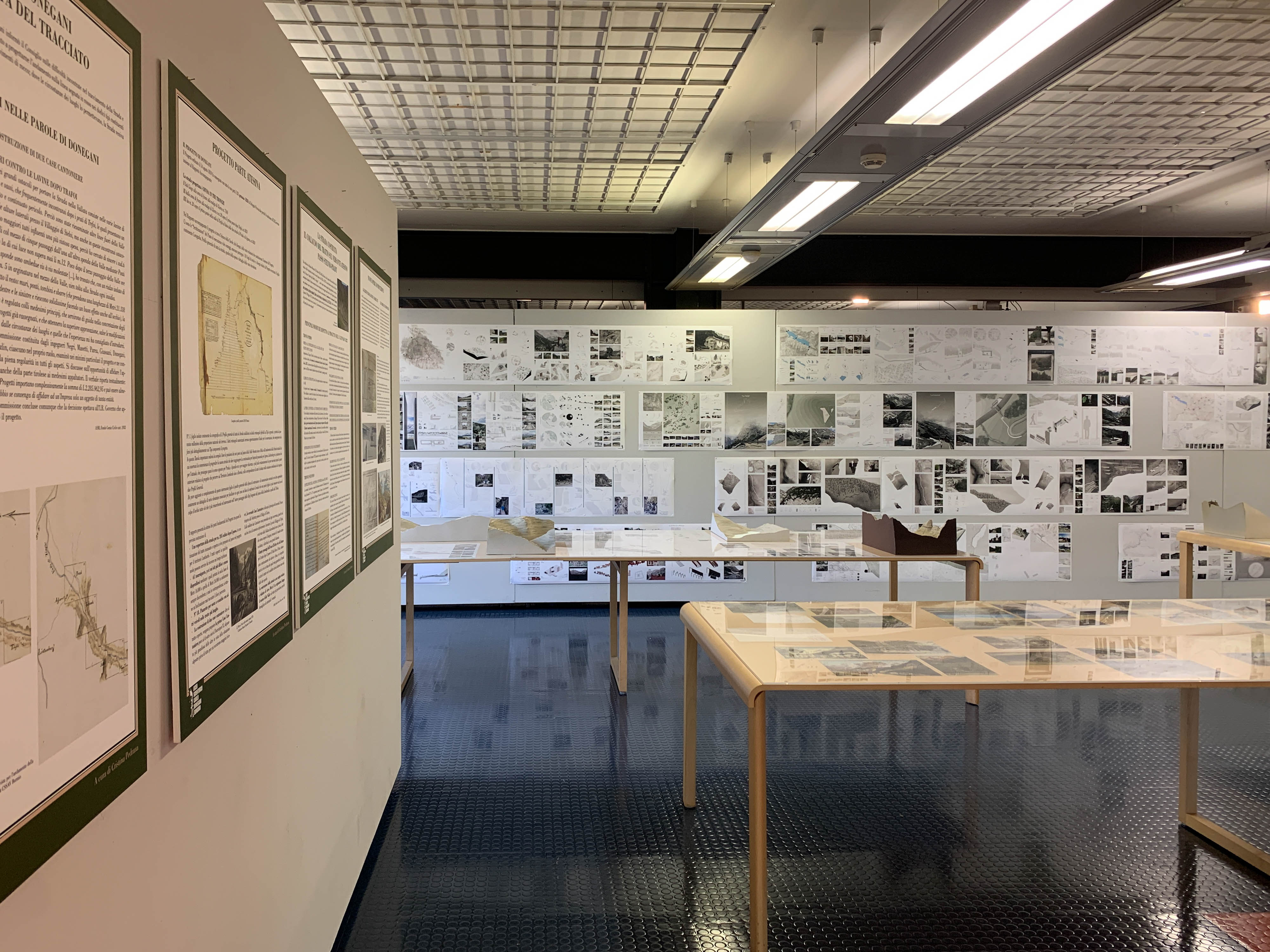
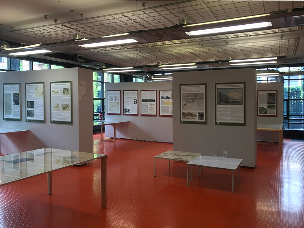
The exhibition consists of two parts. A historical one that brings together a previous experience carried out by the Donegani Documentation Center set up within the Carlo Donegani High School (now part of the Sondrio City High School). Since 1998, the Center has acquired over 150 original plates (plans, sections, profiles) relating to the design of the Stelvio, Spluga and Aprica roads, planned in the early 19th century by engineer Carlo Donegani. Works that still today constitute the pivot of the mountain road system in the province of Sondrio.
The richness of the documentary fund constitutes the basis of the 'Donegani Project', a multi-year programme involving teachers and high school students that over the years has been variously modulated to investigate significant design aspects, to be contextualised with the contribution of archival research.
This exhibition presents a selection of the work carried out by students from the Liceo Donegani and IIS Alberti high school in Bormio, coordinated by Maria Carla Fay with the contribution of Cristina Pedrana, a scholar of historical routes, on the Stelvio Pass road (Lombardy and Sud Tirol parts); this is complemented by a selection of panels resulting from the previous study dedicated to the Spluga Pass.
The research led to an in-depth study of original works of art, artefacts and construction techniques, allowing the design choices to be read in the light of the historical and geomorphological context. The result is the exceptional character of these works, a true "impossible challenge" taken on and won by Carlo Donegani.
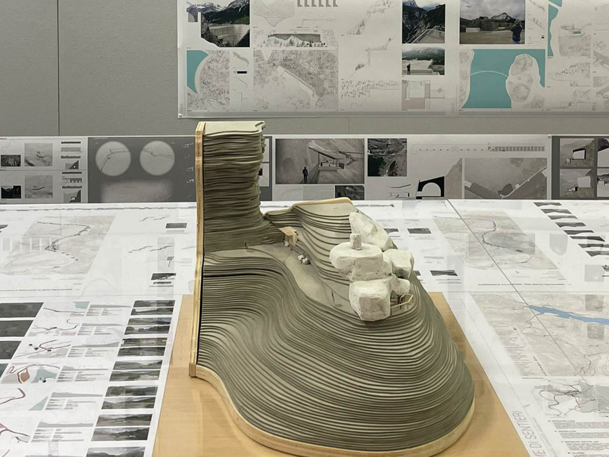
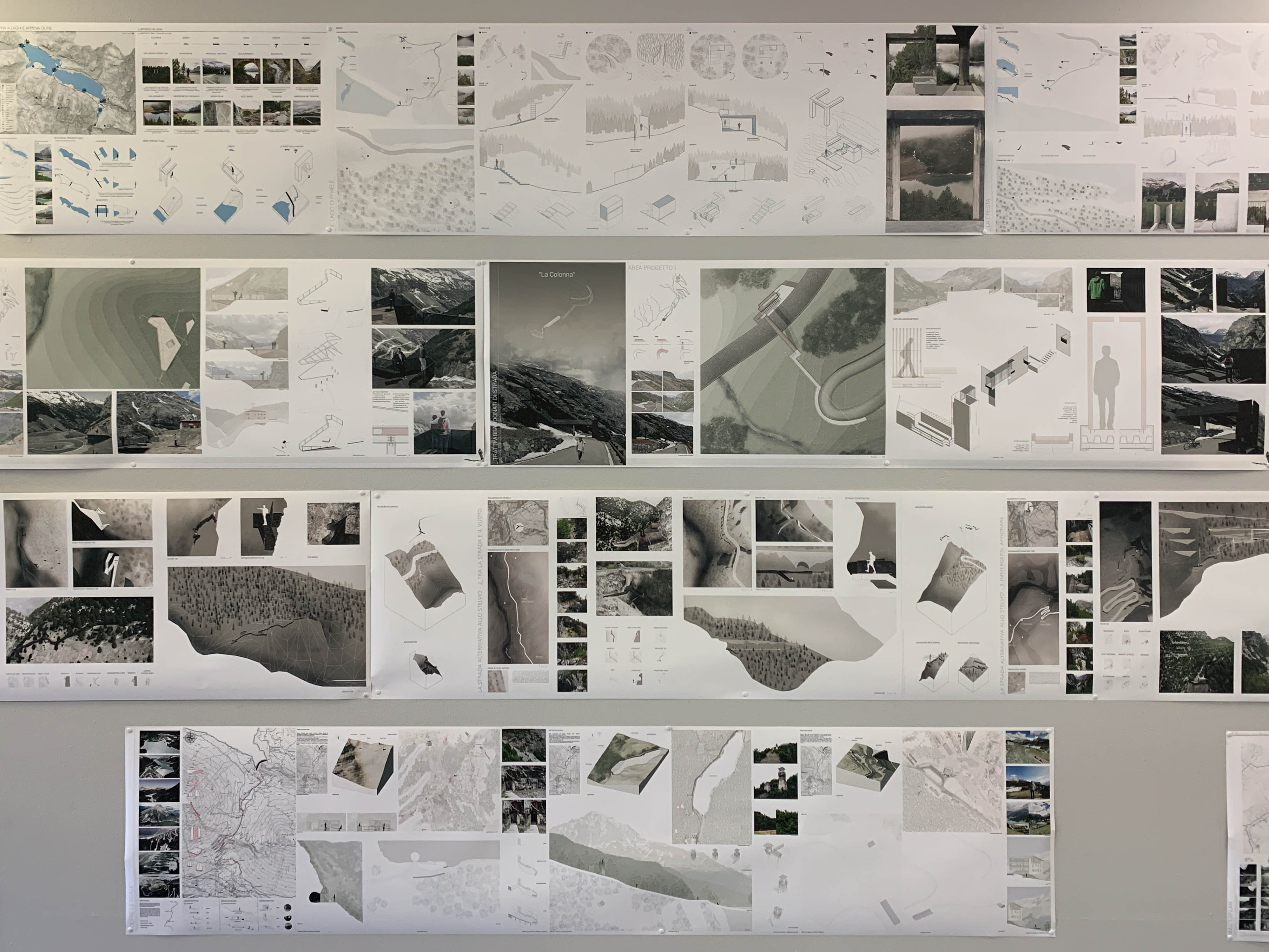
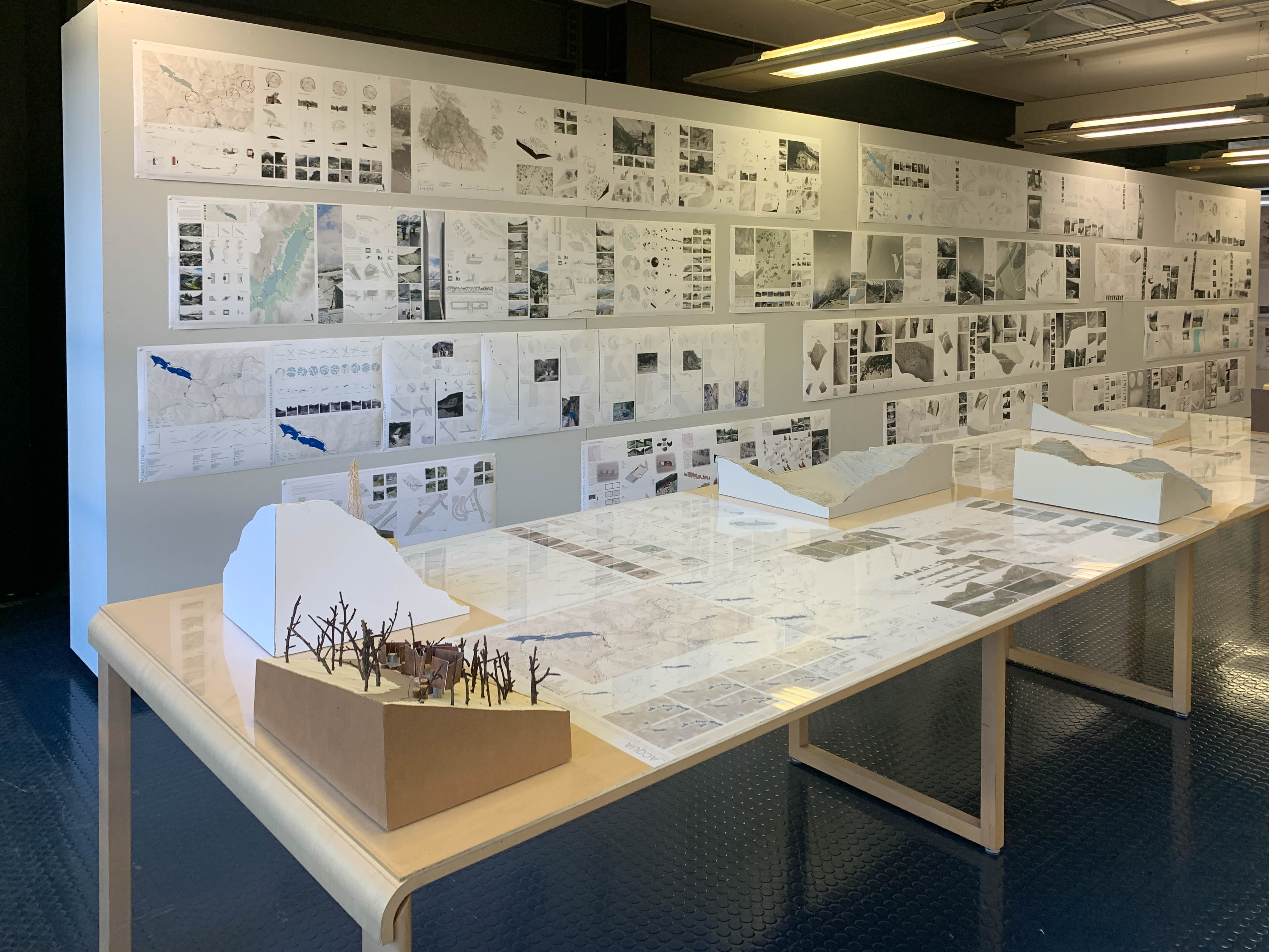
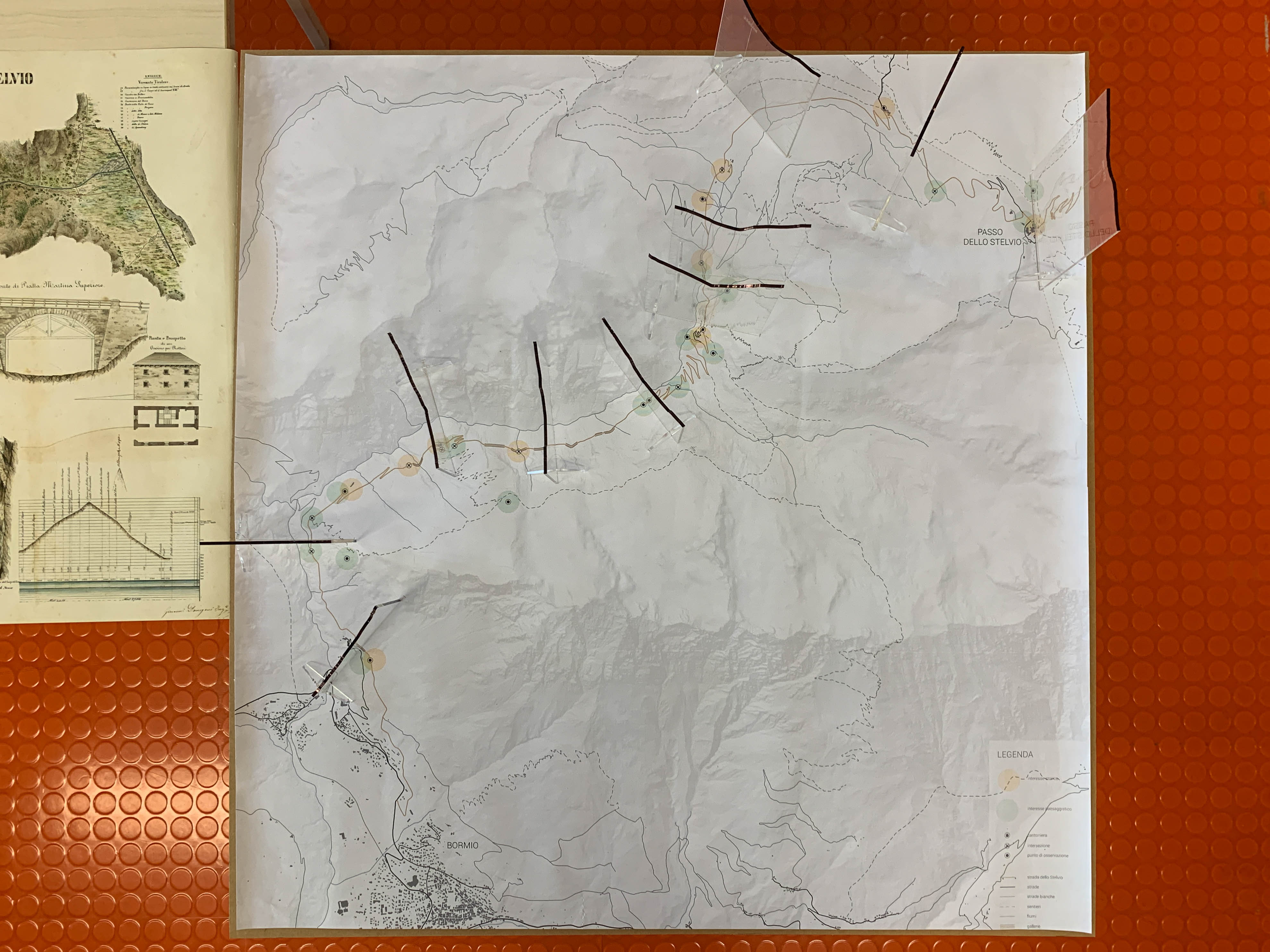
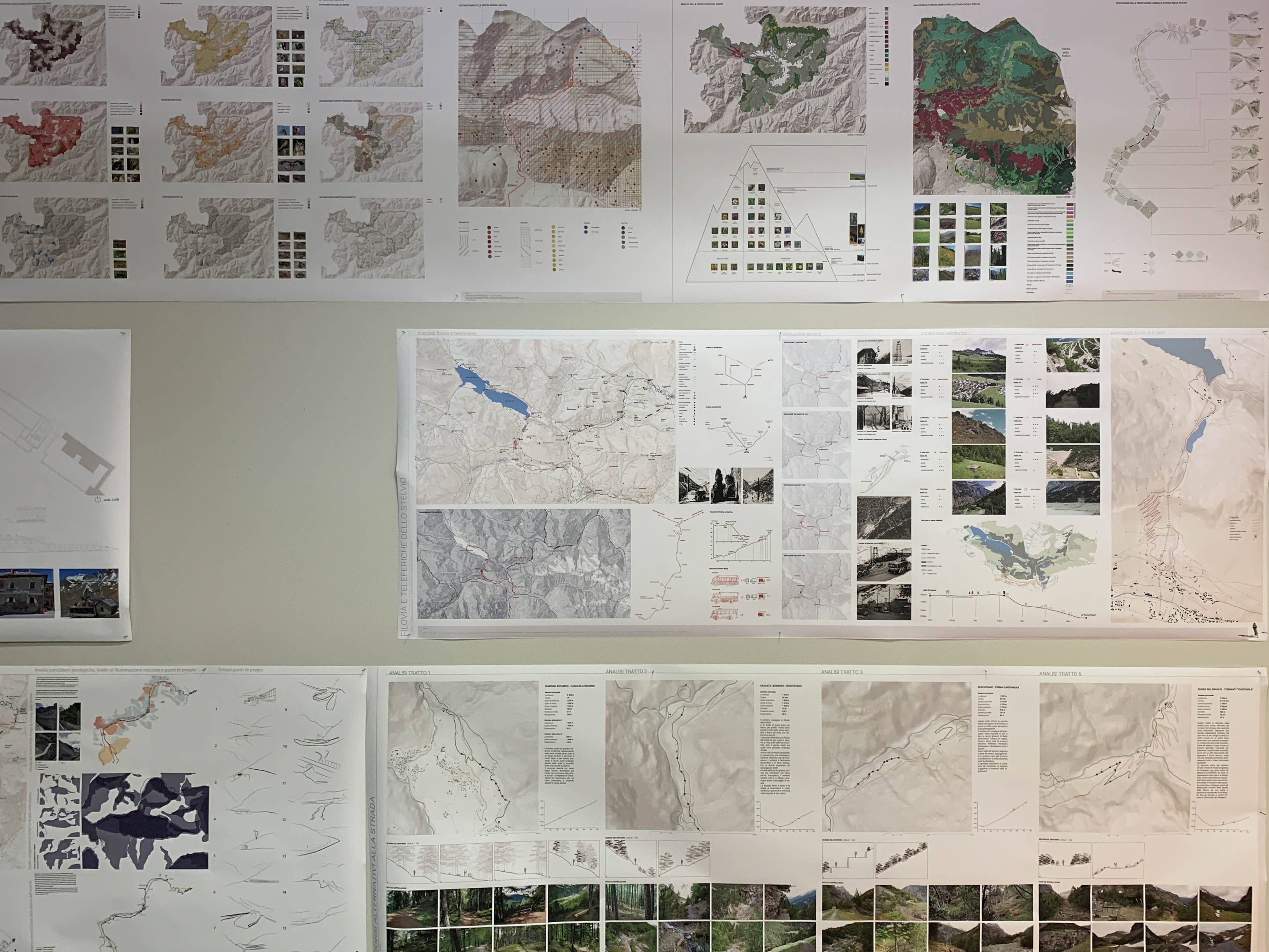
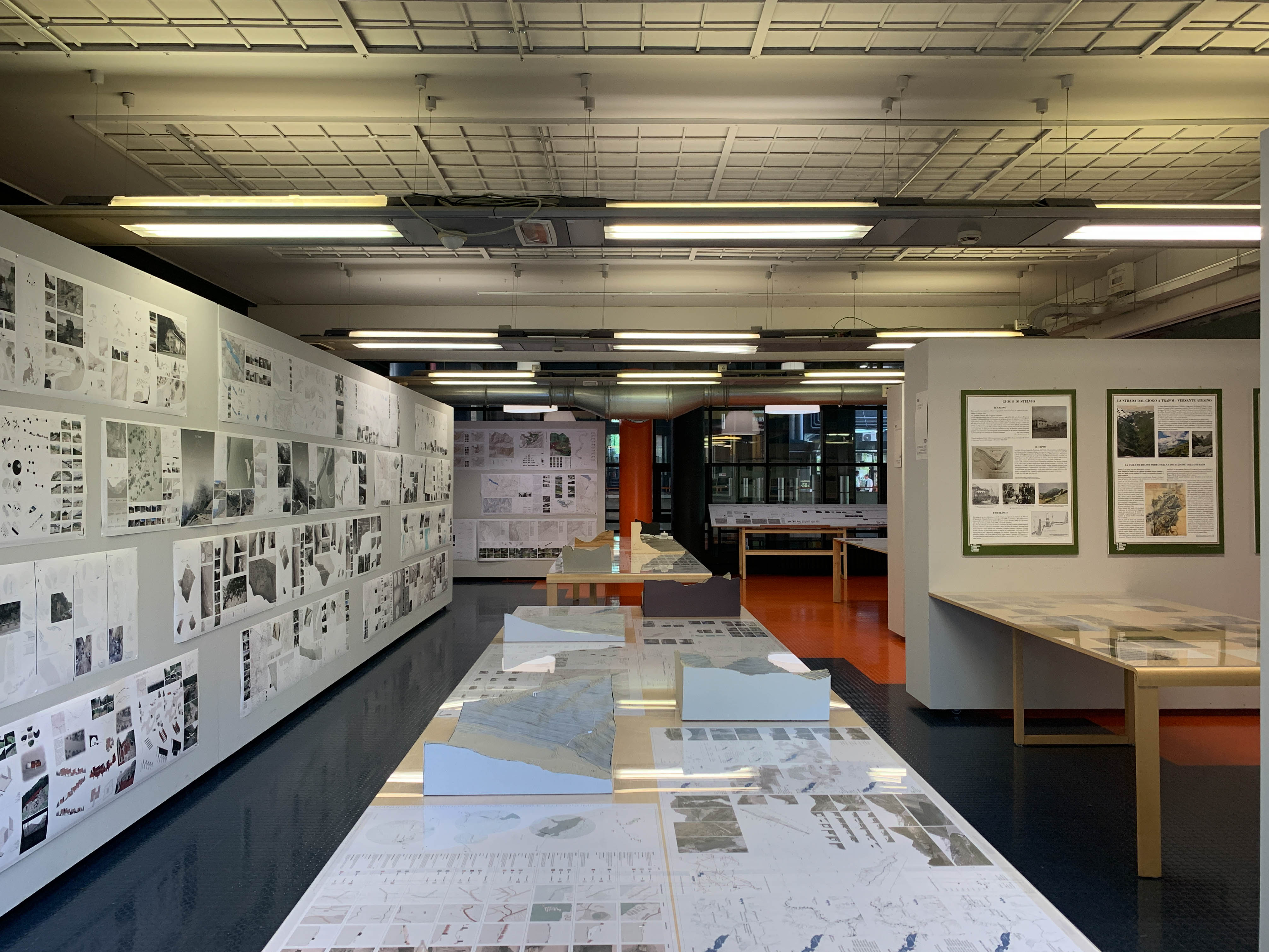
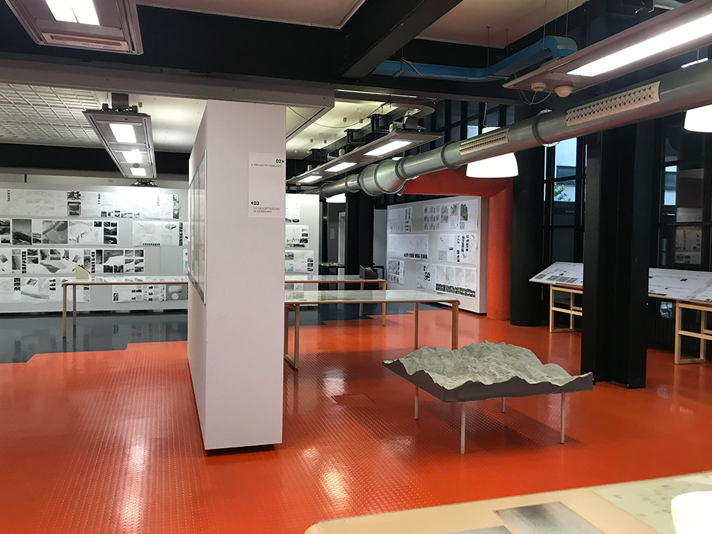
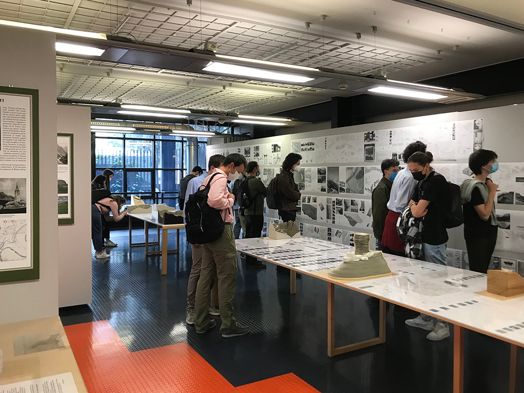
A second part consists of a mapping and analytical reading of the current conditions and design scenarios that consciously interpret the relationship between small and large dimensions, proposing an overall strategy for the enhancement of the road and the valley. A work realised between 2017 and 2018 in the final third-year Laboratory of Design and Furnishing of Open Spaces conducted by Michele Ugolini, Caterina Gallizioli and Francesco Occhiuto at the School of Architecture Urban Planning Construction Engineering of the Politecnico di Milano and carried out in connection with the Stelvio National Park of the Lombardy Region. The focus was in the first year the Braulio valley, from Bormio to the pass, and in the second year it expands to the lateral connection with the Cancano lakes and the nearby Fraele pass.
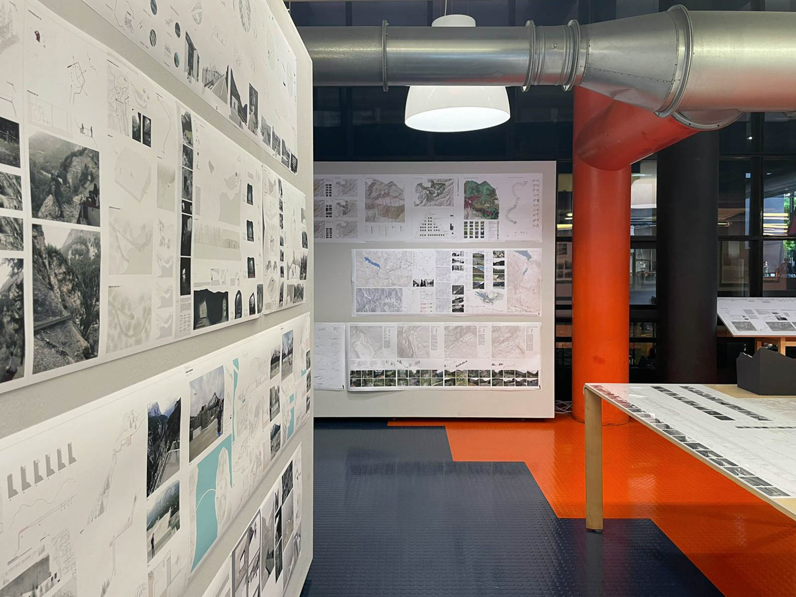
The analytical path is subdivided into two phases, one of knowledge of the places and general themes, the other more explicitly dedicated to interpretative themes of a state of art that the project aims at. A design strategy that deals synergistically with the different themes in a logic of the whole, not of separate parts. With this in mind, the sections of the road that have been abandoned and have fallen into disuse and ruin over time are linked to portions of the paths that run in fragments along the valley to be projectually connected by new sections to design an alternative pedestrian route from Bormio to the pass, a route that does not exist today, which plays and intertwines in its longitudinal linear relationship with the road - approaching and receding from its structures: drystone retaining walls, bridges reinterpreted from below in unprecedented perspectives, tunnels - rather than with the course of the stream with its waterfalls, gorges and bends that allow one to approach the water. The idea is substantiated that the road and its relationship with the nature of the valley reveal their close and inseparable relationship in being seen from outside the road itself: "the road outside the road."
The reconnaissance of abandoned artefacts, not only the most obvious ones, Case Cantoniere, wartime artefacts or the piles of collapsed bridges, old, partially submerged dams, but also all those apparently less noble remnants and fragments that remained scattered and half-hidden in the territory after the construction of the Cancano dams, or the fruit of old activities linked to pastoralism, reveal unseen potential, opportunities for reconnection through the paths to larger systems, unexpected points of reinterpretation of the landscape.
A mountainous area known for its natural beauty as witnessed by the beautiful views drawn by the Swiss painter J.J. Meyer in 1831, but which in the last two centuries has become a place heavily infrastructured: the road with its hairpin bends, the high-tension power lines with their pylons interpreting the emerging points of the orography, the system of water conduits feeding the Cancano lakes with their dams and power stations. Nature, infrastructures, and human history intertwine in a story that cannot be separated but needs a gaze that gathers and reveals the intimate nature that inextricably links them in order to relaunch new readings and new design perspectives.